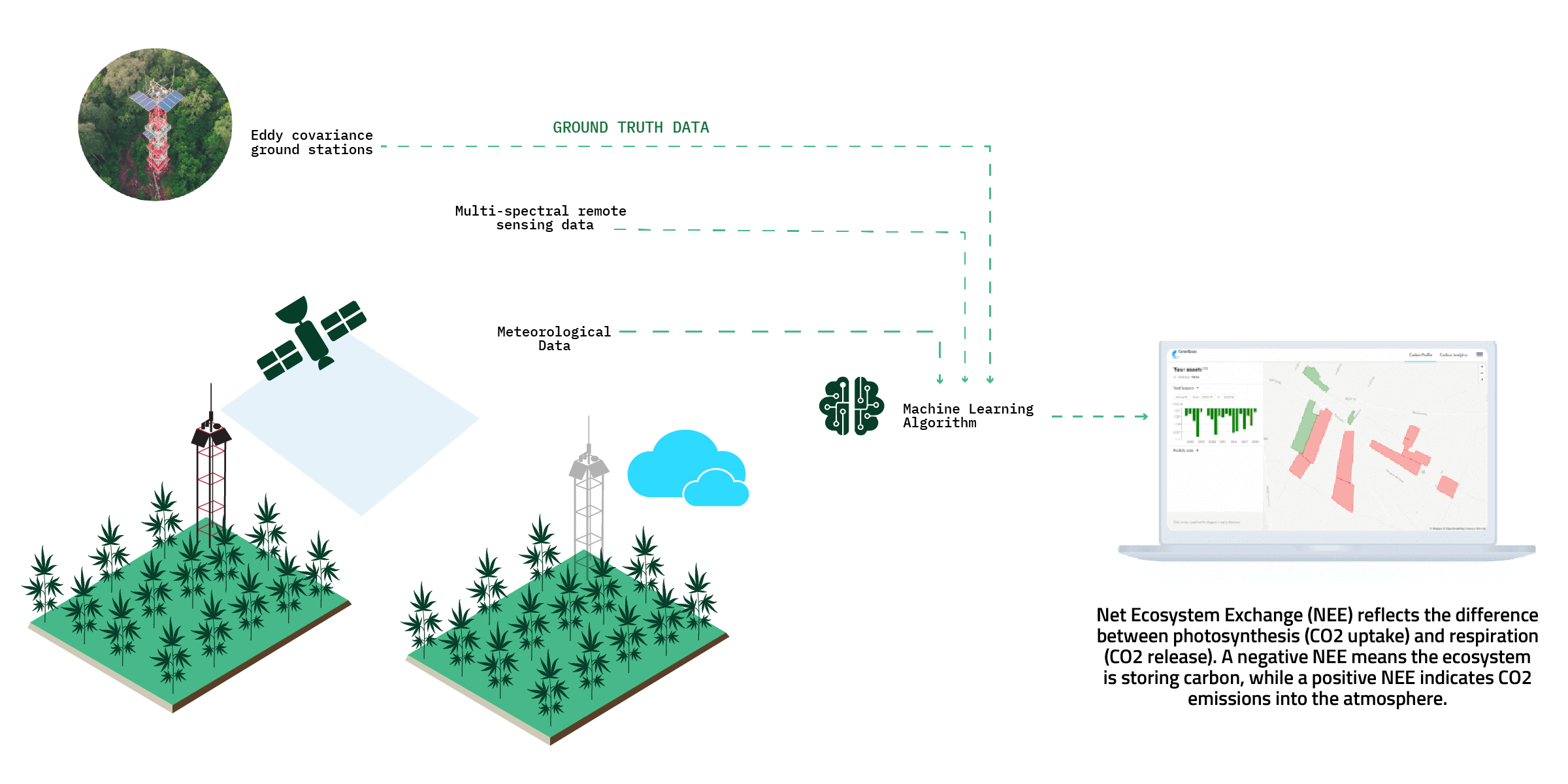
Our cutting-edge MRV software employs ground-truth data, satellites, AI, and advanced technology to facilitate large-scale detection of C02 sequestration from industrial hemp farms.
Monitoring,
reporting, and
verification (MRV)
Monitoring, reporting, and verification (MRV) is an essential tool for carbon and ecosystem markets. As the demand for regenerative agriculture continues to increase, MRV is crucial for any organization or platform dedicated to being part of the solution. It enables the critical capability to monitor, report, and verify progress towards sustainability goals.
Collaborating
for Impact:

Carbon markets
Utilize farm data verification for carbon certification

Hemp processing
Monitor supply chains, establish traceability, and enable the monetization of ecosystem services
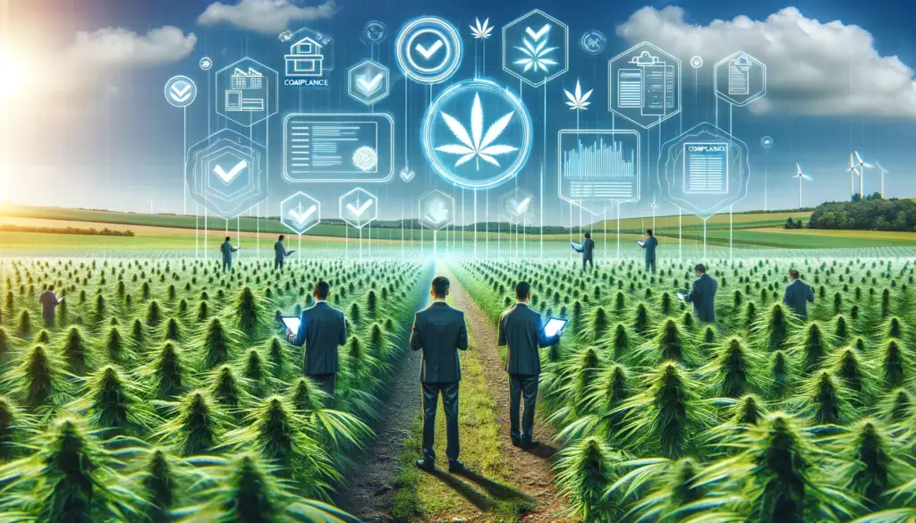
Regulators
Verify hemp farm practices to ensure compliance
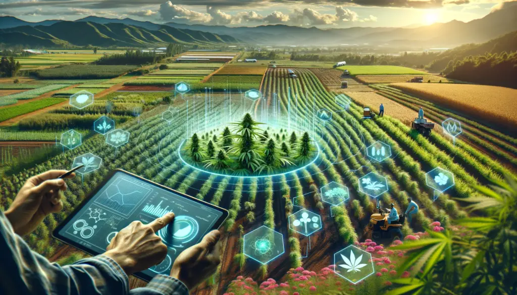
NGOs
Monitor agricultural practices to manage biodiversity risks
Our MRV
capabilities
Ground Truth
Cover Crop Detection
Crop Rotation
Field & Boundary Detection

C02
Calculation
To avoid extensive and expensive crop sampling, C02 absorption of hemp crops is measured via satellite data, at scale, with the use of AI and innovative machine learning approaches. The subsequent generation and sale of carbon credits for the voluntary carbon market (VCM) is a prime example of a regenerative agricultural incentive system.
